"La Noueuse" : downhill mountain bike track in Rochehaut
Description
Downhill mountain bike trail accessible to a more experienced public; requiring technique and specific riding equipment.
Difficulty: blue: level: easy, intermediate.
The "Noueuse" trail, located between the village of Poupehan (to the south) and the villages of Rochehaut and Frahan (to the north) is particularly recommended for beginners in this discipline.
It starts on the Route du Hotchet or la Buchaille coming from Poupehan and via the Rue de Nazareth (N893) or via the Chemin des Falloises, coming from Rochehaut.
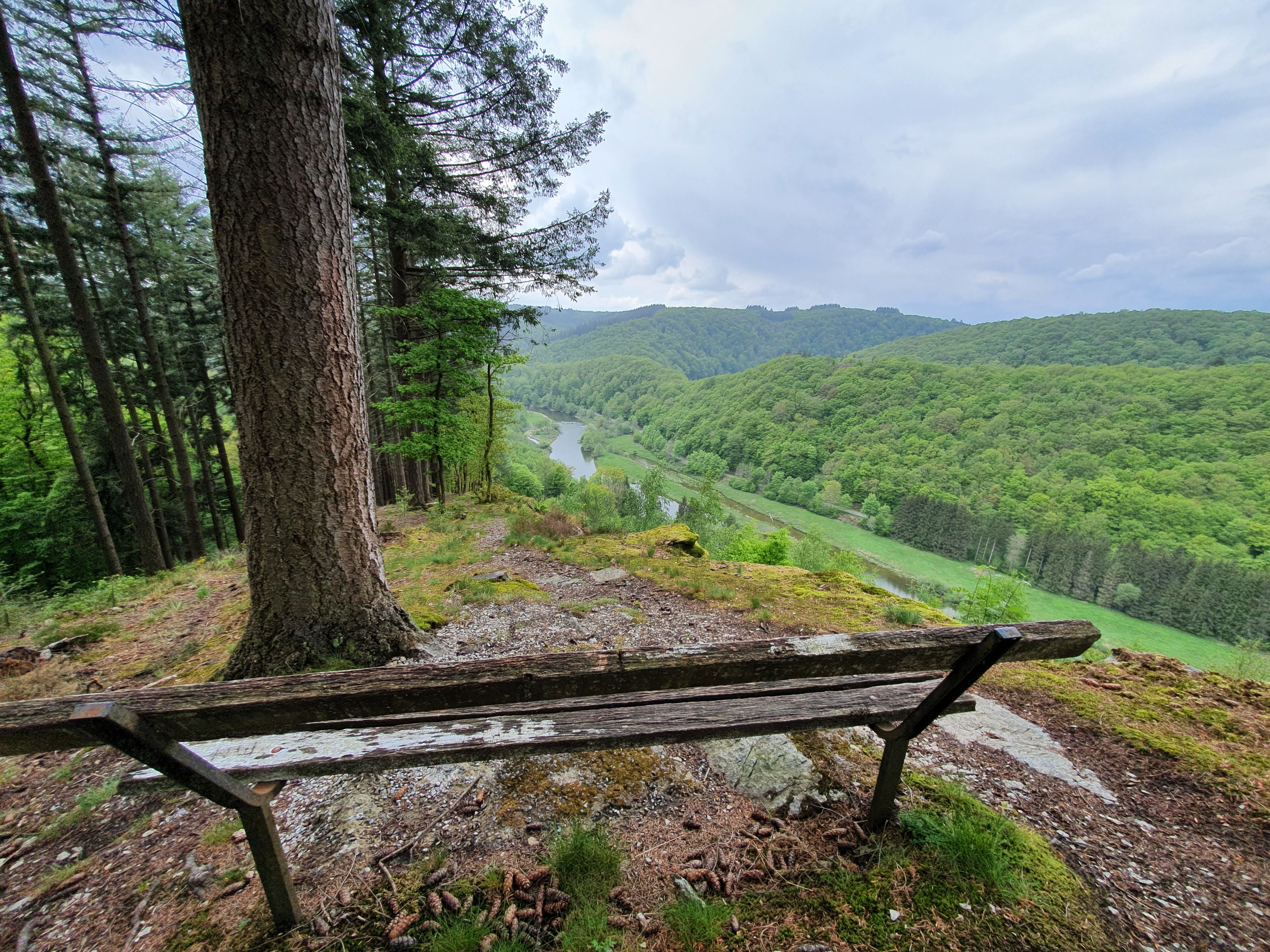
It runs for 600 m downhill through the "Trois Bras" and "Epinettes" forests. This forest is made up of deciduous and coniferous stands.
At the finish point, bikers land on the Chemin des Epinettes facing the wild Semois.
Translated with www.DeepL.com/Translator (free version)
- Departure : Route du Hotchet, 6830 - Poupehan
- Arrival : Route du Hotchet, 6830 - Poupehan
- Towns crossed : Bouillon
Altimetric profile
Sensitive areas

Vallée de la Semois de Poupehan à Alle (Bouillon; Vresse-sur-Semois)
Site of high biological interest
- Contact:
Ile du Ban de Laviot (Bouillon)
Site of high biological interest
- Contact:
Ile des Beaux Chênais (Bouillon)
Site of high biological interest
- Contact:
Information desks

Visit Bouillon en Ardenne
Quai des Saulx, 12, 6830 Bouillon