"La Nonnette" : downhill mountain bike track in Bouillon

Bouillon
"La Nonnette" : downhill mountain bike track in Bouillon
Medium
0h10
699m
+0m
-66m
Linear
N3-EN - Intermediate
Embed this item to access it offline
Description
A downhill mountain bike trail accessible to a more experienced public; requiring technique and specific riding equipment.
Difficulty: blue: easy, intermediate.
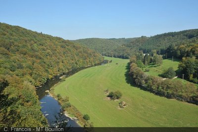
The "Nonnette" trail runs 700 m downhill through the forest of the Côte à l'Aise, in Bouillon. This forest is located behind the abbey and the Cordemois bridge, a stone's throw from the centre of Bouillon. It is made up of deciduous and coniferous stands.
The average gradient of this enduro mountain bike trail is -9.1% with a difference in altitude of 70 m.
- Departure : 6830 - Bouillon
- Arrival : 6830 - Bouillon
- Towns crossed : Bouillon
Altimetric profile
Sensitive areas
Along your trek, you will go through sensitive areas related to the presence of a specific species or environment. In these areas, an appropriate behaviour allows to contribute to their preservation. For detailed information, specific forms are accessible for each area.

Information desks

Visit Bouillon en Ardenne
Quai des Saulx, 12, 6830 Bouillon
Close by1
- Discovery and recreation